
Fish INTEL project
Between 2021-2023, we worked with 11 other partners on a major EU-funded project to learn more about fish behaviour.
Led by the University of Plymouth, FISH INTEL used cutting edge technology to monitor key fish species and understand how they use different ecosystems within UK, French and Belgian seas.
By tracking fish movements and studying their habitats, we aimed to better understand how key commercial fish species move between habitats in the English Channel region so that marine areas and fisheries can be managed more effectively.
Researchers focused on several important species, including:
• European sea bass
• Pollack
• Black seabream
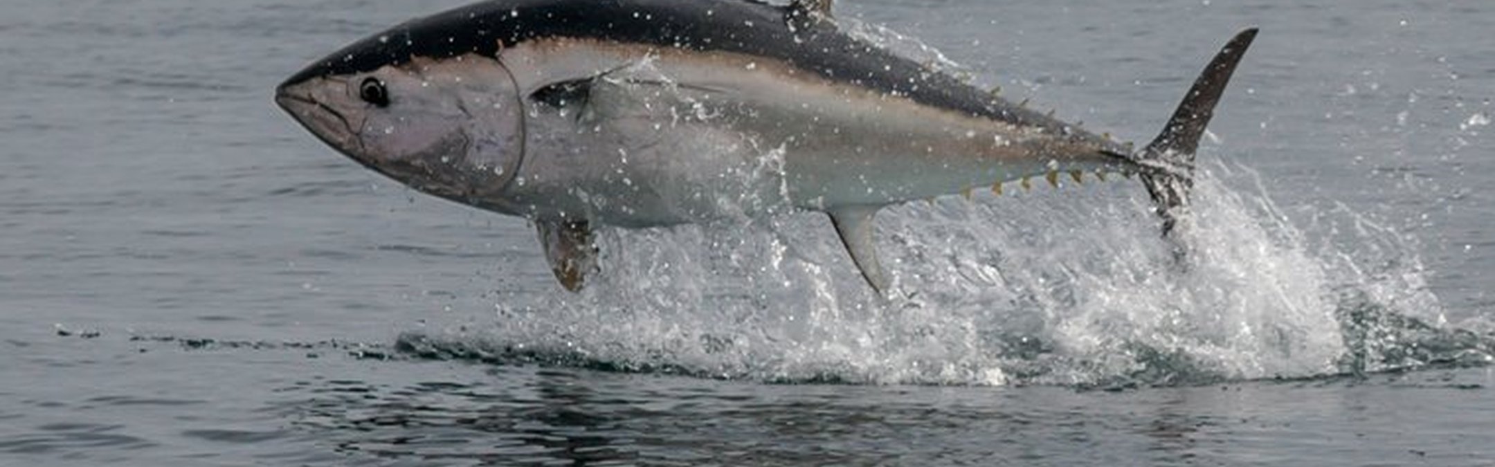
• Bluefin tuna
• Crawfish (spiny lobster)
How the project worked
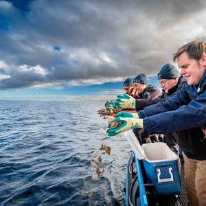
Scientists used acoustic telemetry (fish tagging) to track animal movements across the Channel. Crawfish and fish were tagged sensitively, using freedivers, trammel nets and using specialist anglers to catch fish.
Key methods included:
• Attaching acoustic transmitters (pingers) to fish and crawfish.
• Deploying underwater listening stations on the seabed that detect signals (“pings”) from tagged animals.
• Using satellite tags for highly mobile species like tuna.
• Combining tracking data with underwater video surveys and habitat mapping.
Within the first few months of the project 16 bass, 29 bluefin tuna and 30-35 crawfish were tagged, with around 1,000 fish tagged across the duration of the project.
Watch the video to learn all about the project and hear Dr Mathieu Woillez explain acoustic telemetry.
What the project discovered
The tracking revealed new insights into fish behaviour and habitat use, including:
Fish movement patterns
• Some sea bass travel large distances, including between Devon and Belgian waters.
• Bluefin tuna stayed near the Isles of Scilly longer than expected in UK waters.
• Crawfish tend to remain close to their home areas, often within a few kilometres.
Habitat importance
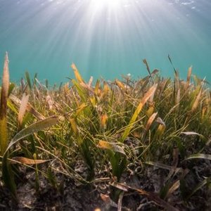
• Estuaries were shown to be crucial habitats for sea bass, highlighting their importance for protection.
• Certain marine protected areas (MPAs) were confirmed to provide effective protection for species like crawfish and black seabream.
Environmental insights
• The project also investigated how human activities (fishing, wind farms, aquaculture) and environmental changes affect fish habitats and behaviour.
What the project achieved
Overall, the project produced large-scale scientific evidence about fish movements and habitats in the English Channel, which will be used to inform fisheries management and can help support current management measures, or identify new measures which would benefit these species.
Key achievements include:
1. Improved scientific understanding of fish migration and habitat use.
2. Identification of important habitats, including feeding, breeding, and nursery areas.
3. Evidence to support Marine Protected Areas (MPAs) and potentially expand them.
4. Data to inform fisheries policies, such as seasonal restrictions or catch limits.
5. Cross-border collaboration between scientists, regulators, and fishers in the UK, France, and Belgium.